Air Quality Interpolation and Animation

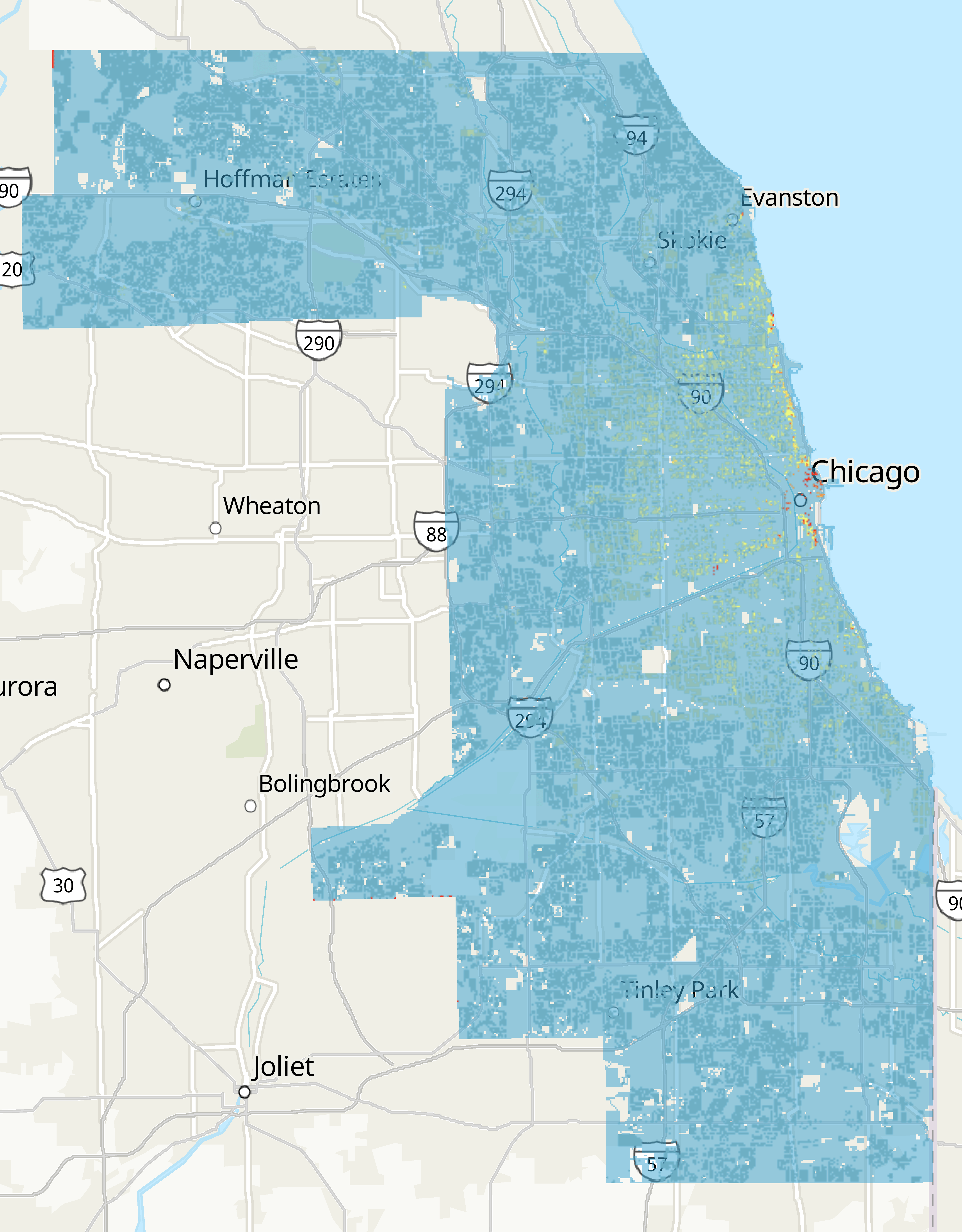
I interpolated and animated Chicago humidity measurements in 2019 using data from the Array of Things project. The goal of this project was to create a reporducible geospatial workflow using methods I had learned during my independent study course.

Dasymetric map of Chicago.

Chicago Dasymetric Mapping

I created a dasymetric map of Cook County in ArcGIS Pro using ACS Census data available through the Esri ArcOnline Portal and the CMAP land use data. The goal of this project was to practice the spatial thinking skills required to calculate area weighted density values and practice publishing maps online.

Site Scale Green Infrastructure in Cook County

This project visualizes the state of neighborhood and landscape scale green infrastructure, comparing that to urban flood risk, and identifying where certain types of site scale green infrastructure could be implemented in high flood risk areas. The goal of this project was to practice using GIS skills in urban planning for the final project of an introductory GIS class.

Maps of Chicago with site scale green infrastructure.